August 13, 2022
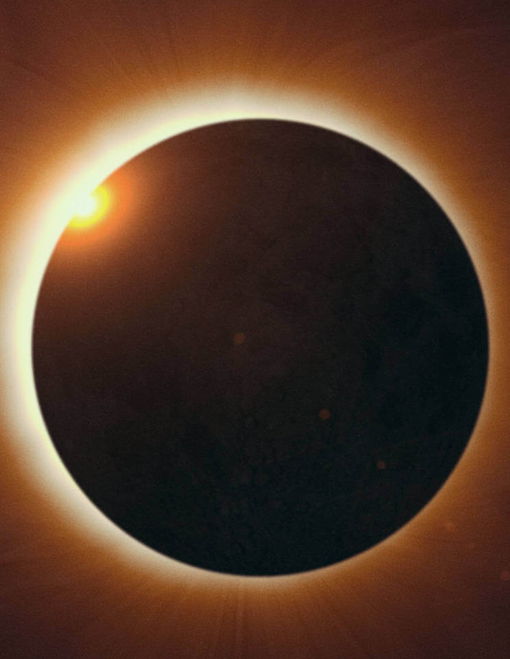
On this date in 1960, the U.S. Geological Survey announced the completion of the first known photogeological survey of the lunar surface. This study was part of a program to select future lunar landing sites.
You can read more about the scientific and historic merits of the study at: https://www.usgs.gov/centers/astrogeology-science-center/1961-usgs-astrogeologys-first-published-map

The first photogeologic map of the Moon, published in 1961 by the United States Geological Survey. By showing the stratigraphic relationships of the rock layers it attempts to display the chronological order of Moon’s formation. Image credit: public domain/USGS


